

Farmers and Agricultural Extension Workers Pretest AI-Enabled Agricultural Advisory System in Machinga
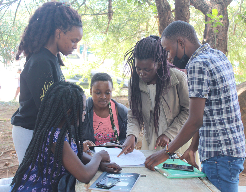
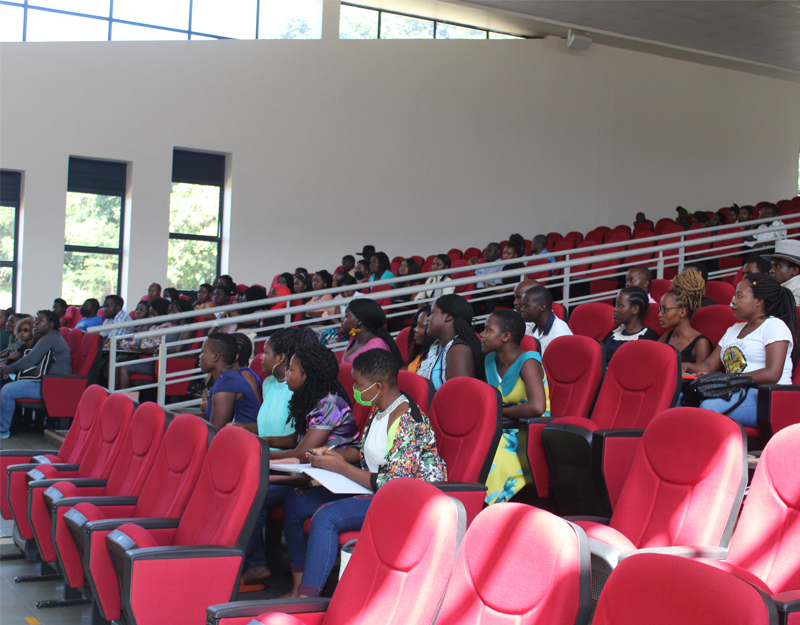
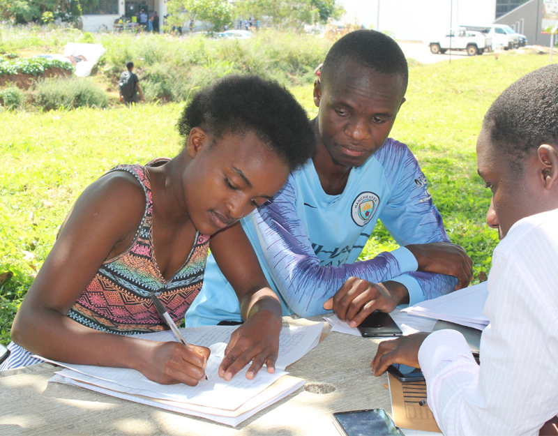
Farmers, agricultural extension workers, lead farmers and technical specialists from Nsanama and Nanyumbu Extension Planning Areas (EPAs) in Machinga District have taken part in a controlled field pre-test of an artificial intelligence (AI)-enabled agricultural advisory system being developed under the Agriculture Resilient Climate Service (ARCS) initiative.
The exercise, which took place from 16 to 18 September 2026, followed an expert review of the system held in Liwonde.
The exercise was designed to assess whether the system was technically functional, scientifically and agronomically sound, understandable, relevant, actionable and accessible before progressing to the next controlled stage.
The pre-test assessed three main areas, namely scientific and advisory validity, user performance, and technical performance. Scientific and advisory validity focused on climate-data fidelity, agronomic correctness, climate-to-action reasoning, safety and translation, while user performance examined whether intended users could access, understand and act on the advice, and technical performance assessed system access, connectivity, location, data behaviour, consistency and traceability.
According to the ARCS team, separating these areas was important because an application can be easy to use while still producing scientifically or agriculturally problematic advice. Similarly, scientifically sound advice may not be useful if farmers cannot understand or apply it.
The field exercise used realistic agricultural decision-making situations rather than abstract technical questions. Scenarios included rainfall onset and planting, dry spells and rainfall variability, heavy rainfall and adverse weather, as well as heat and water stress. Livestock-weather scenarios were also included, and the system proved sufficiently mature to support them.
A key method used during the exercise was teach-back, where farmers were asked to explain in their own words what an advisory was telling them to do, why they should do it and when they should act.
The team also assessed the actionability of recommendations by asking whether farmers could realistically carry them out. Where they could not, the exercise sought to establish whether the barriers were related to factors such as cost, labour, availability of inputs and services, or timing.
Participant selection deliberately included farmers with different levels of digital literacy and access, ranging from independent smartphone users to occasional users and those likely to require basic-phone or assisted access.
This enabled the team to assess different delivery pathways rather than assuming that all farmers would independently use a smartphone application.
Lead farmers were also included as part of the delivery pathway, particularly for farmers with limited direct access to digital technologies. Their involvement helped the team assess whether advice could be relayed to farmers without losing its intended meaning.
The pre-test compared direct farmer use with mediated use through extension workers and lead farmers. In selected cases, the advisory was relayed or explained to the farmer, who was then asked to identify the intended action, reason and timing.
The approach was intended to determine which delivery pathway could most reliably preserve the meaning of the advisory while supporting appropriate action.
The system is being developed to strengthen agricultural extension services rather than replace extension workers.
Many of the advisories rely on approved agricultural guidance and information supplied to the system. Where direct field observations are unavailable, the application works from the situation reported by the user and standard management assumptions.
Extension workers, however, can provide important field-level context, including observations on crop condition, planting practices, pest and disease problems and other practical constraints.
Chichewa formed a distinct part of the testing, with the protocol separating naturalness of expression from preservation of meaning.
As such, participants helped identify terminology that, although technically correct, could be unclear or difficult to use in ordinary agricultural communication.
Iness Lengani, an Extension Officer from Likwawa Section commended the application, saying it will enable farmers to make informed decisions.
“The app is really good and important because it is able to provide forecasts and advisories to our farmers, therefore making it easy for farmers to make informed decisions. The app will also guide us as extension officers on what to be advising our farmers,’’ said Lengani.
The field exercise was led by Dr Dackson Masiyano of the University of Malawi (UNIMA), who is responsible for model and scientific integration, and Lizzie Gondwe of the Centre for Environmental Policy and Advocacy (CEPA), who is responsible for field and user-testing coordination.
The wider team brought together expertise from UNIMA, the Department of Climate Change and Meteorological Services, the Department of Agricultural Extension Services, Lilongwe University of Agriculture and Natural Resources (LUANAR) and CEPA, alongside agricultural extension workers and lead farmers, a collaboration which enables climate information, agronomic recommendations, technical performance, extension practicality and farmer interpretation to be examined together while remaining analytically distinct.
Using the same core procedure in both Nsanama and Nanyumbu allowed the team to determine whether difficulties observed in one location were repeated in another. This helped distinguish system-level challenges from those that may be specific to a particular location or context.
Findings from this pre-test will help determine whether the system can progress to the next pilot stage, proceed with specified corrections or restrictions, or require further development before moving forward.